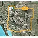
- Provides detailed digital topographic maps, comparable to 1:24,000 scale USGS maps.
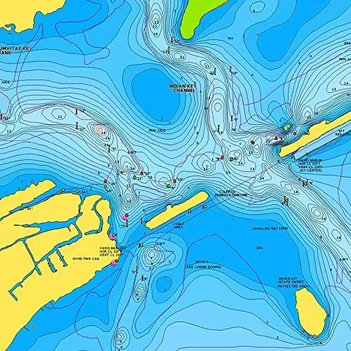
- Contains detailed hydrographic features, including, coastlines, lake and river shorelines, wetlands and perennial and seasonal streams.
- Search by points of interest, including cities, summit, lakes and campsites.
- Provides elevation profile on compatible devices to estimate terrain difficulty.
- Contains many routable trails, rural roads, city neighborhood roads, major highways and interstates.
Outdoor enthusiasts: your adventure is waiting — in vivid detail. These highly detailed maps include terrain contours, topo elevations, summits, routable roads and trails, parks, coastlines, rivers, lakes and geographical points. They also display 3-D terrain shading on compatible devices.


 New Version Blue")
